Photos by João Sarmento. Written by Marco Ramerini.
The Cidade Velha (Old Town) of the island of Santiago in Cape Verde islands is located 15 kilometers west of the city of Praia, along the Santiago island coast. It constitutes the first city built by Europeans in the tropics and the first capital of the Cape Verde archipelago.
The settlement was originally named as Ribeira Grande, been changing name to avoid ambiguity with the homonymous village on the island of Santo Antão. Because of its history, manifested by a valuable architectural heritage, on 26 June 2009 the old town was classified by UNESCO as a World Heritage site.
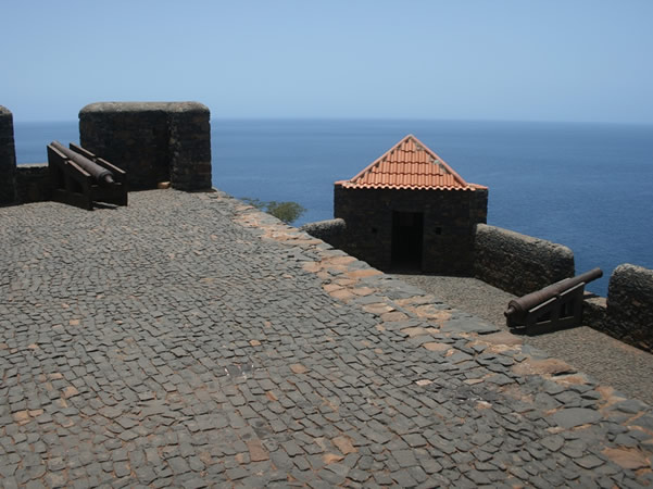
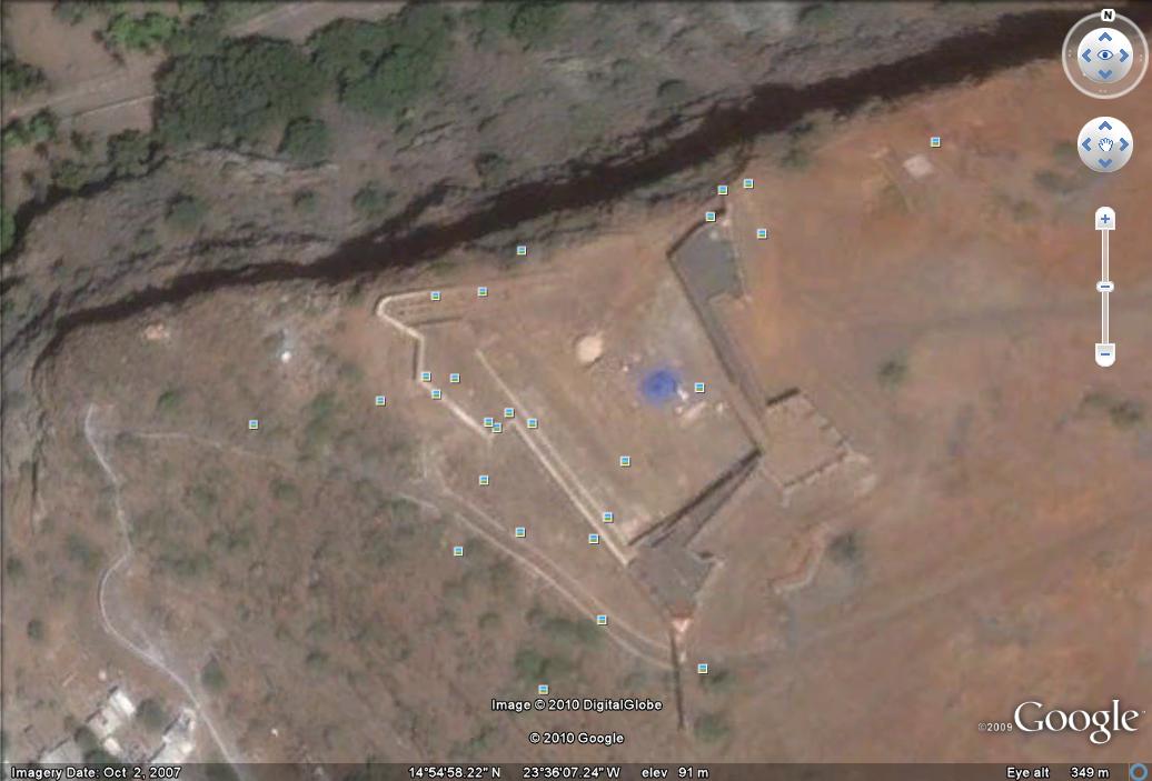
The Forte Real de São Filipe also referred to as Fortaleza Real de São Filipe ou Cidadela – which dominates the city 120 meters high – was erected in 1587. This fort was the first and most important fortification of the archipelago of Cape Verde. Work began in 1587 and were completed in 1593, in charge of military engineer João Nunes and with outlines of Italian military architect and engineer Filippo Terzi.
The Fort features a trapezoidal shape, with with stone walls, two full pentagonal bastions at the west and east corners, separated by curtains, and two half-bastions at the north and south corners, with its watchtowers. The interior of the fortress is accessed by two gates: the main gate is located on the southwest wall on the side facing the city. The defensive set was still integrated by seven small fortifications.
[divider]

[divider]

[divider]
[divider]